|
|
|
|
|
|
|
|
|
|
|
|
|
These images are in the public domain (i.e. not copyrighted; FREE to
copy and use). Download and use them for any educational purpose.
ZIP of all small images (1.9 MB)
(For each large image, click below.)
readme.txt
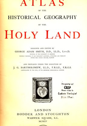
Smith Bible Atlas, London, 1915 Large (1.0MB) |

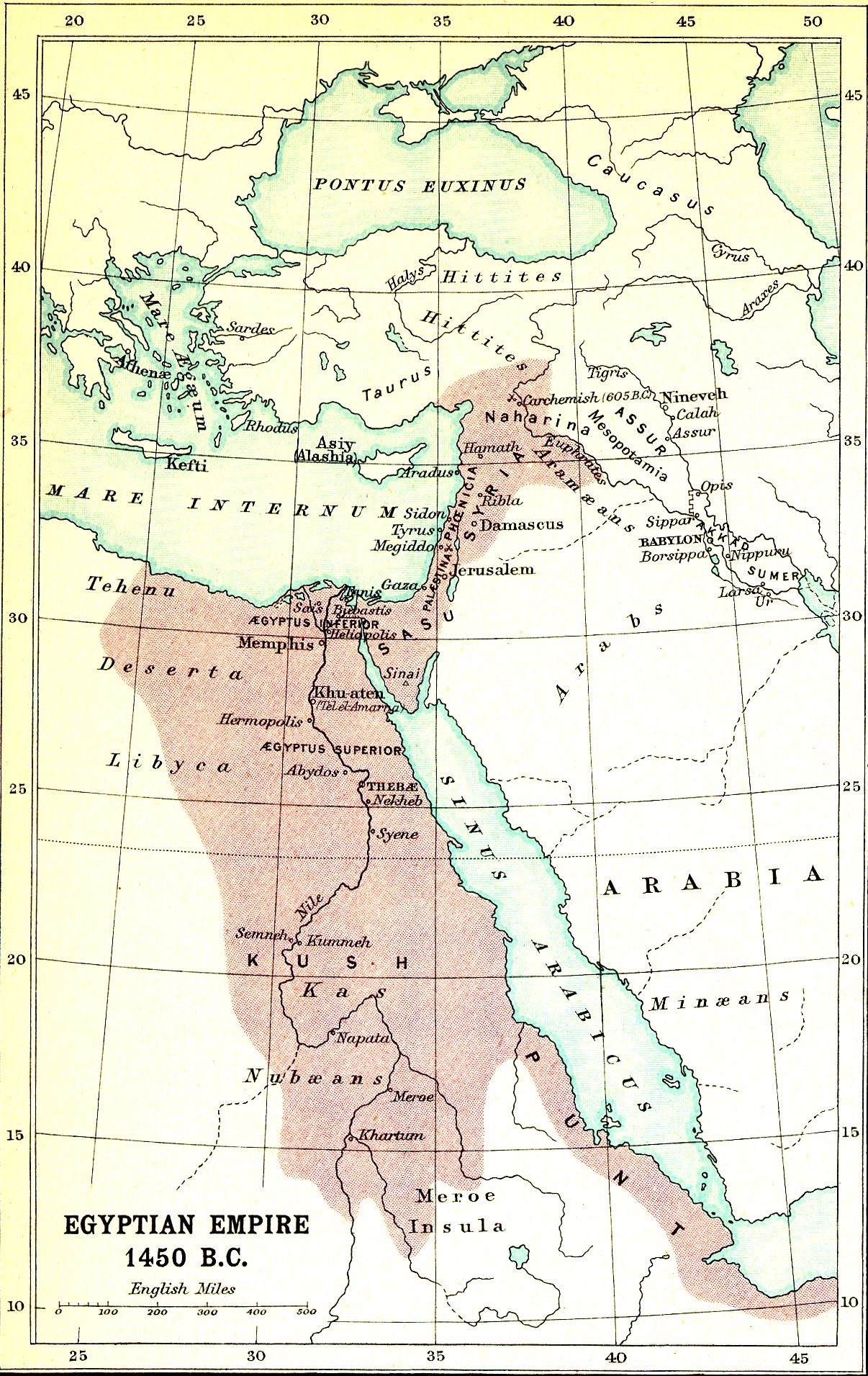
Egyptian Empire - 1450BC Large (660KB) |
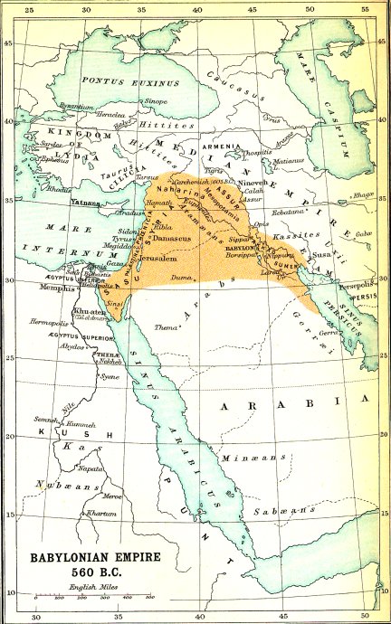
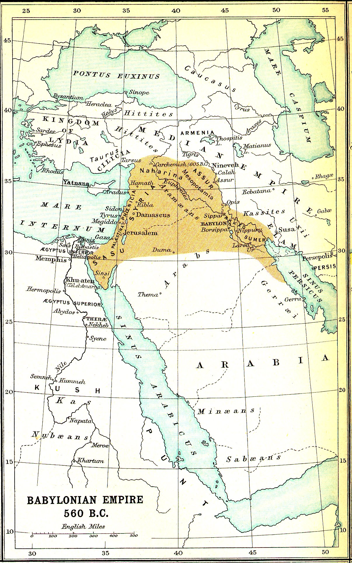
Babylonian Empire - 560BC Large (700KB) |

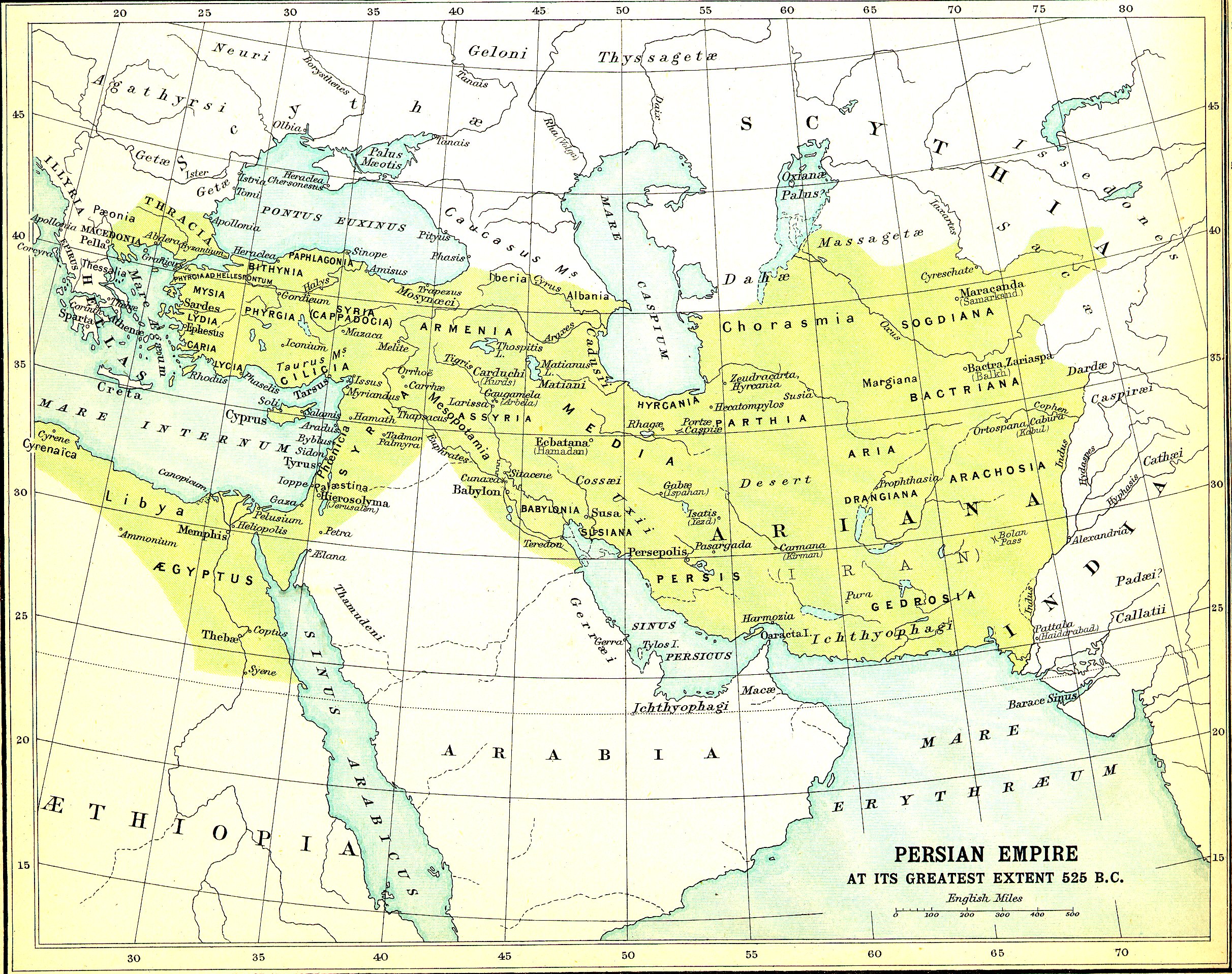
Persian Empire - 525BC Large (1.5MB) |
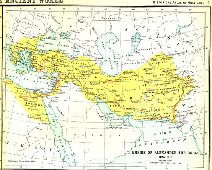
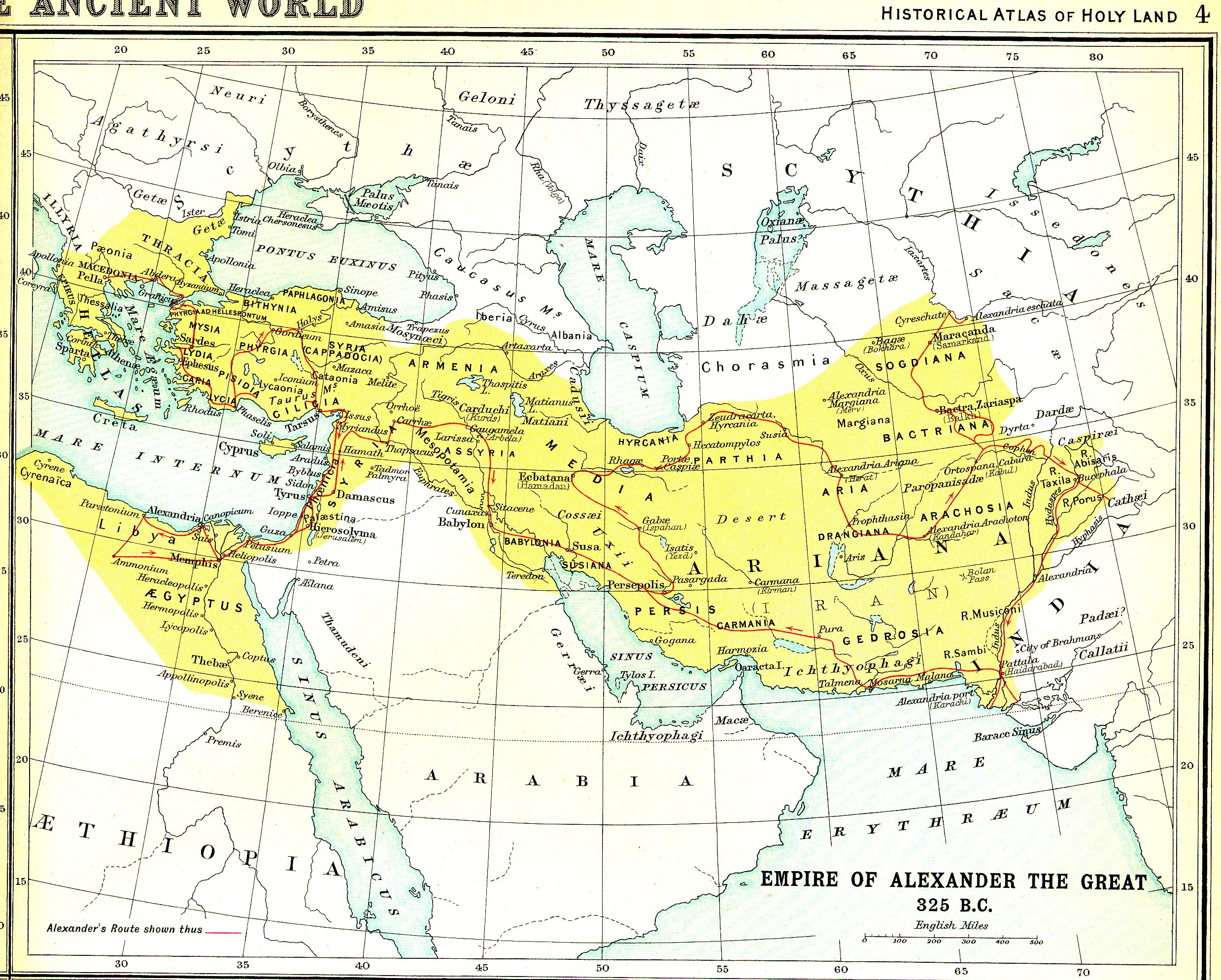
Alexander the Great - 325BC Large (1.5MB) |
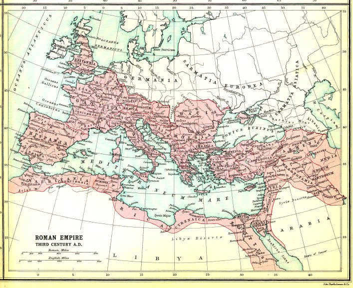
Roman Empire - Third Cen. AD Large (1.9MB) |
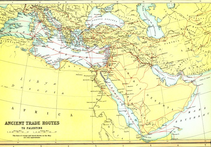
Ancient Trade Routes Large (3.6MB) |
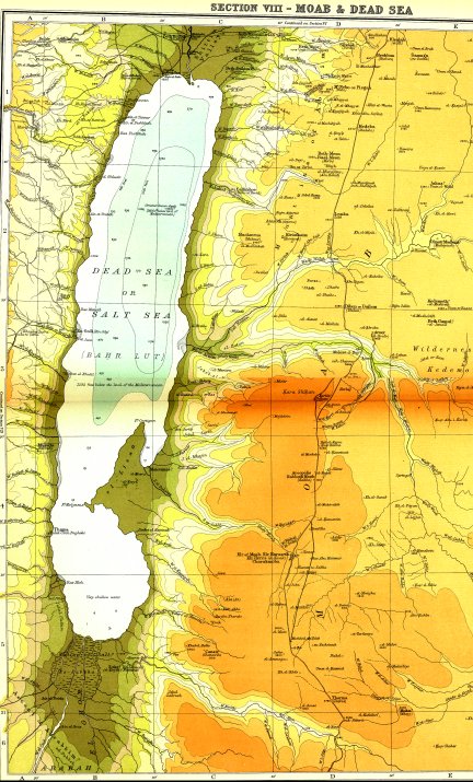
The Dead Sea Large (2.4MB) |
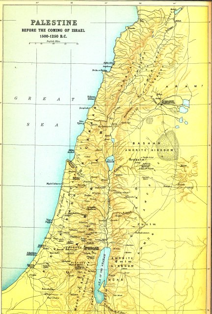
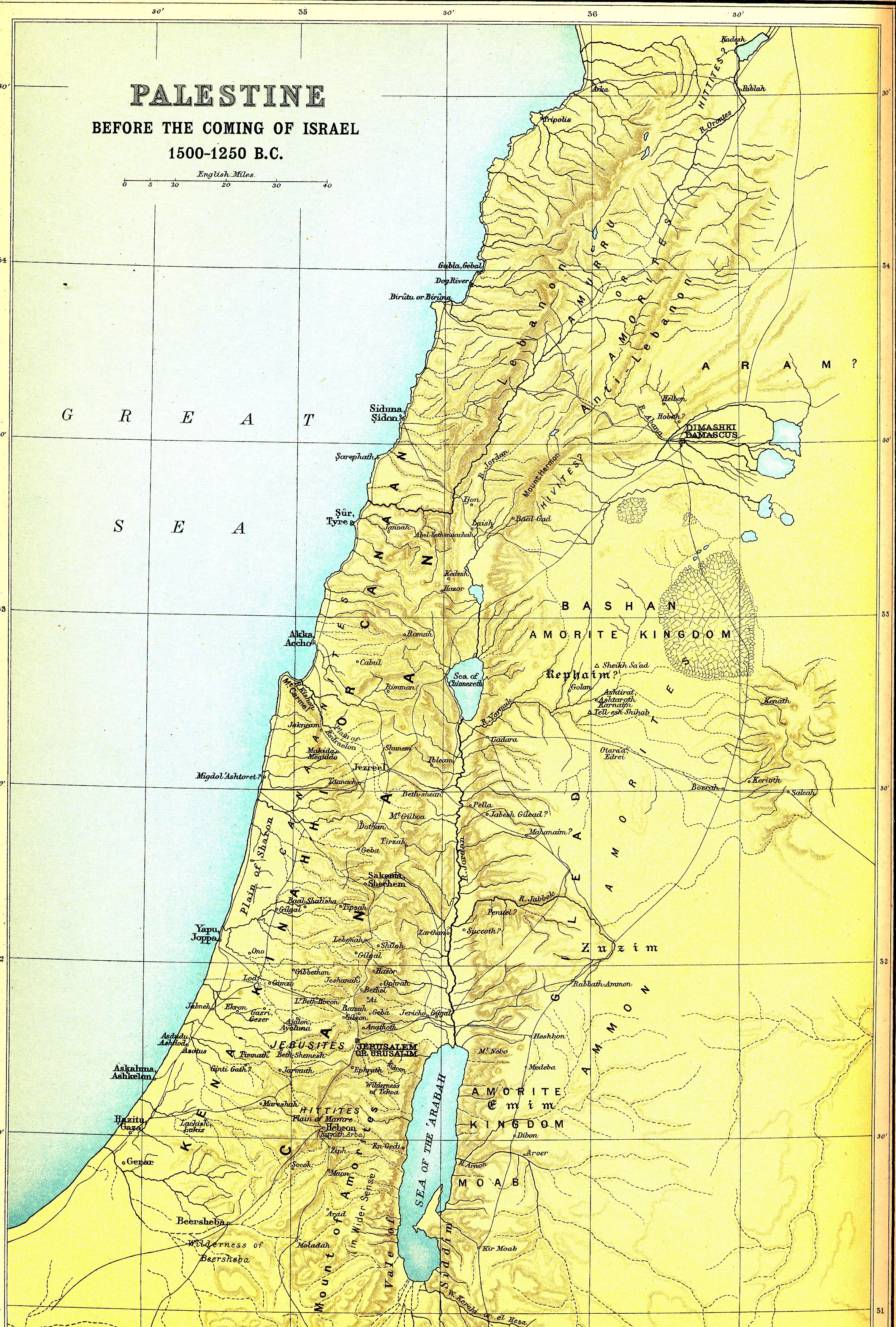
Palestine, Before Israel Large (3.6MB) |
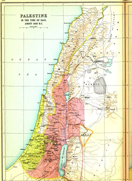
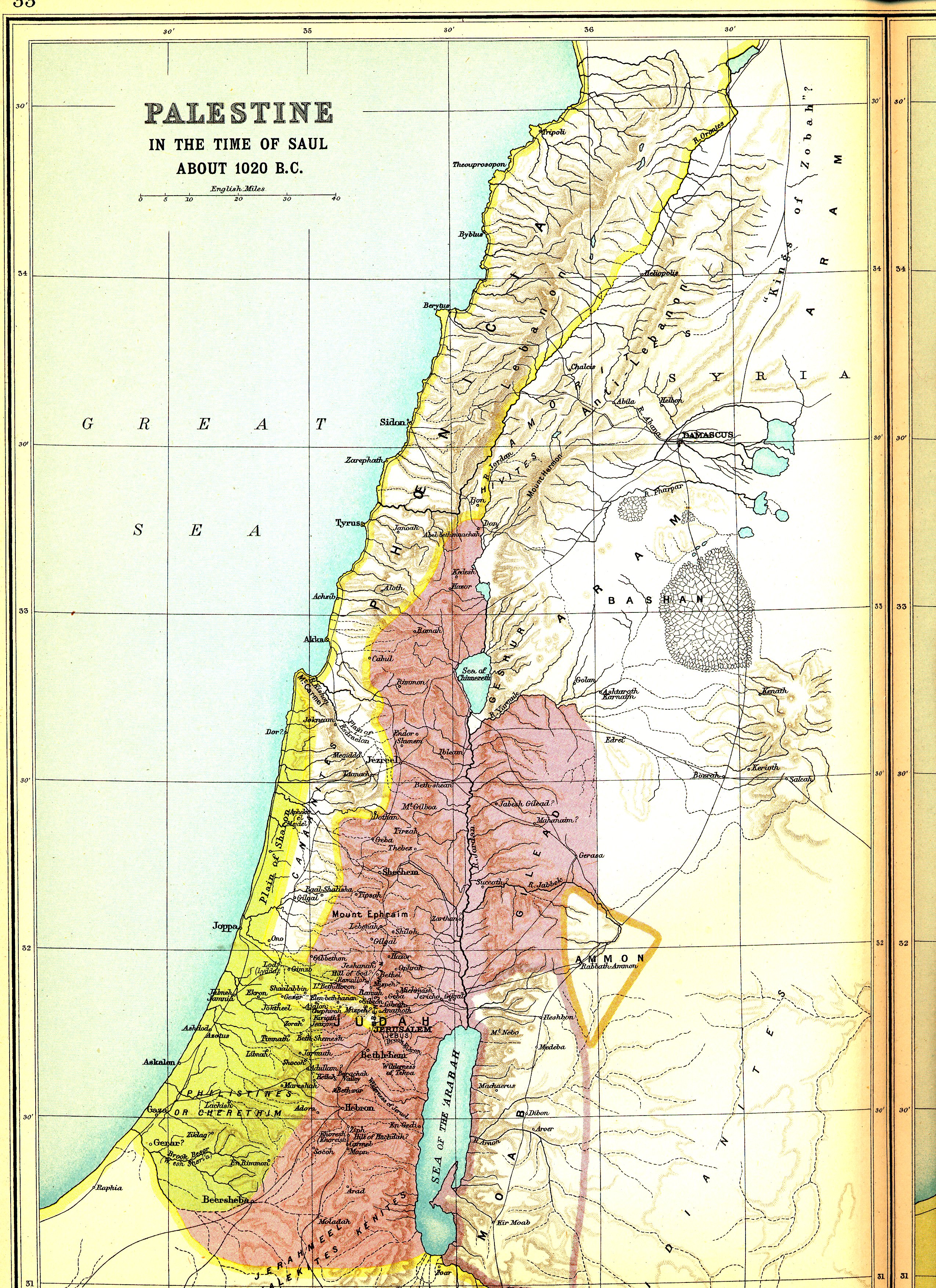
Israel, Under King Saul Large (3.3MB) |

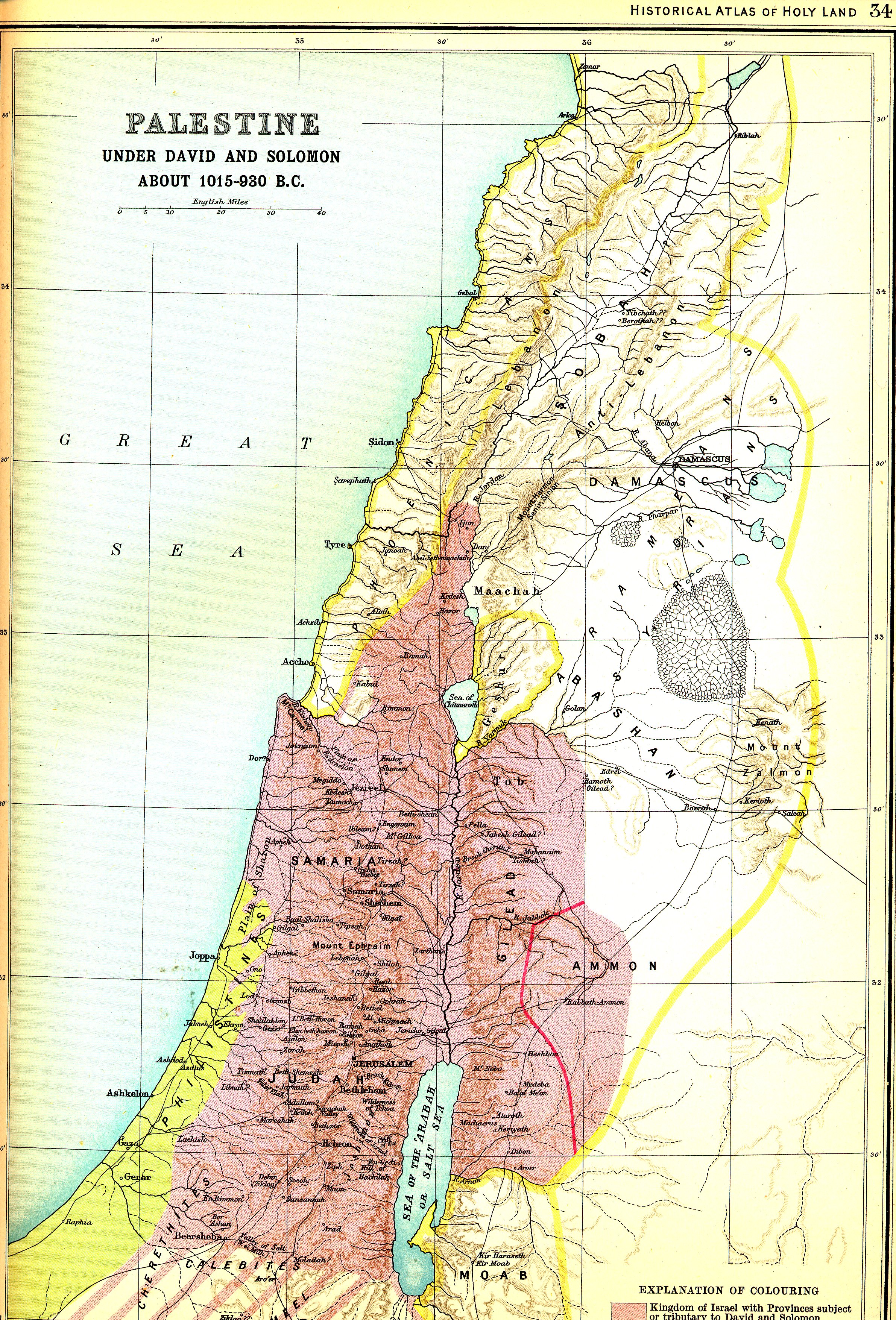
Israel - David & Solomon Large (3.2MB) |
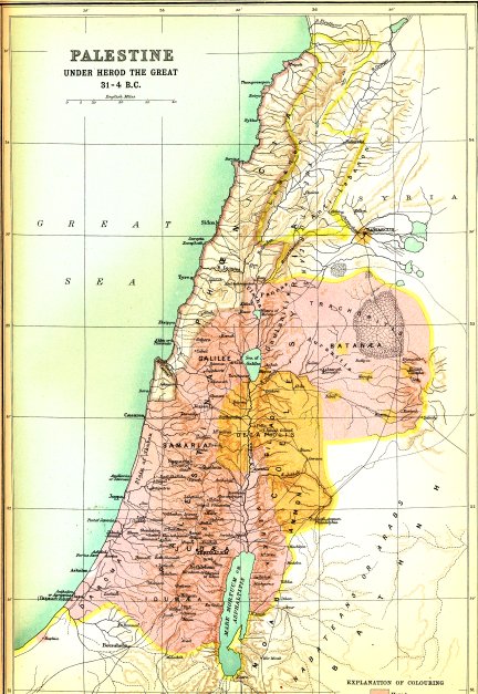
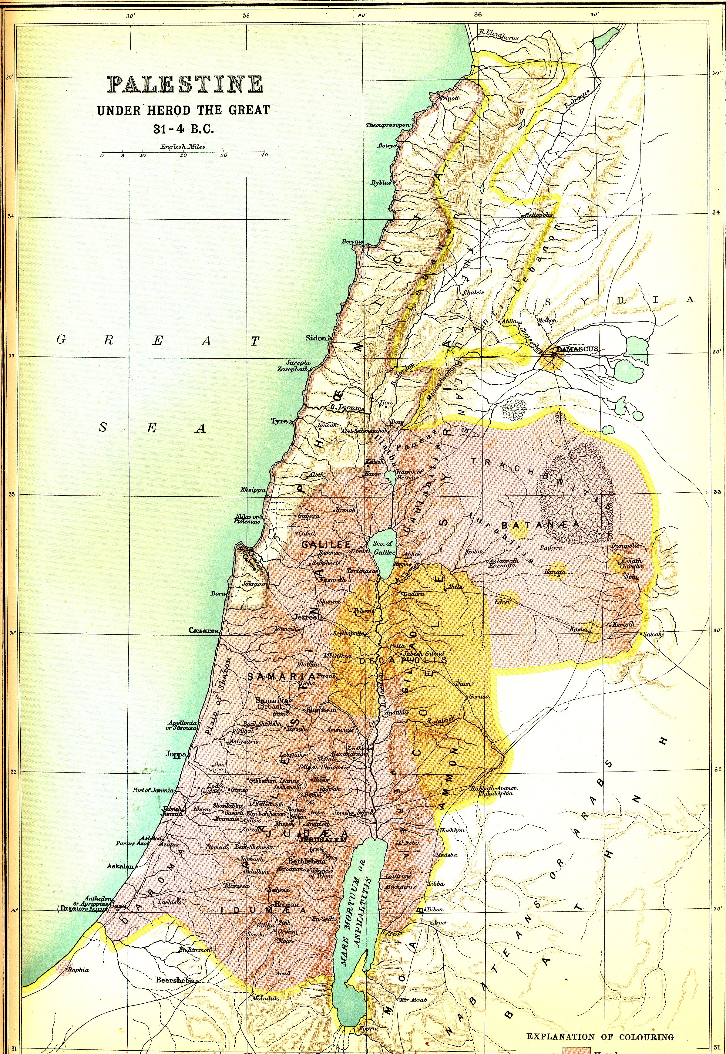
Palestine - Herod the Great Large (3.2MB) |
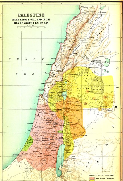
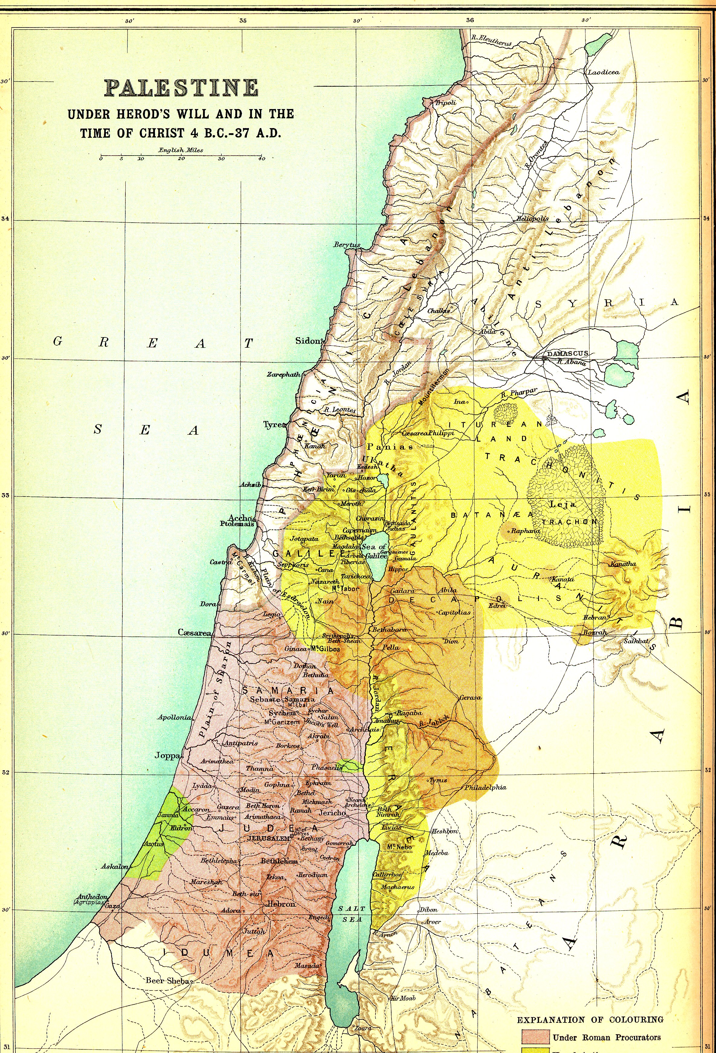
Palestine, the Time of Christ Large (3.1MB) |
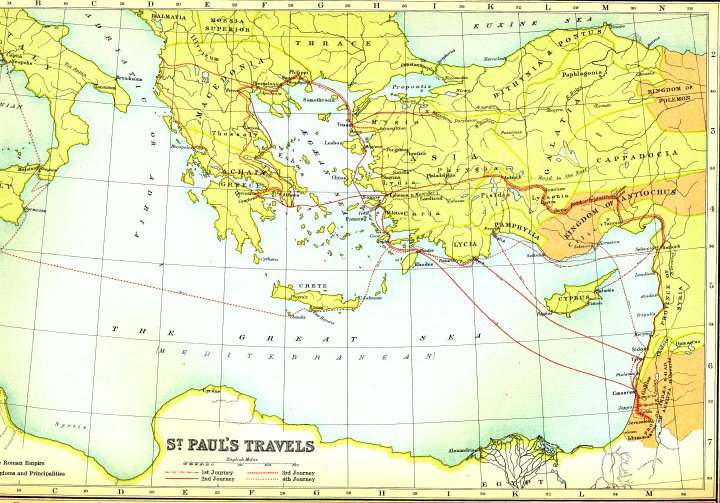
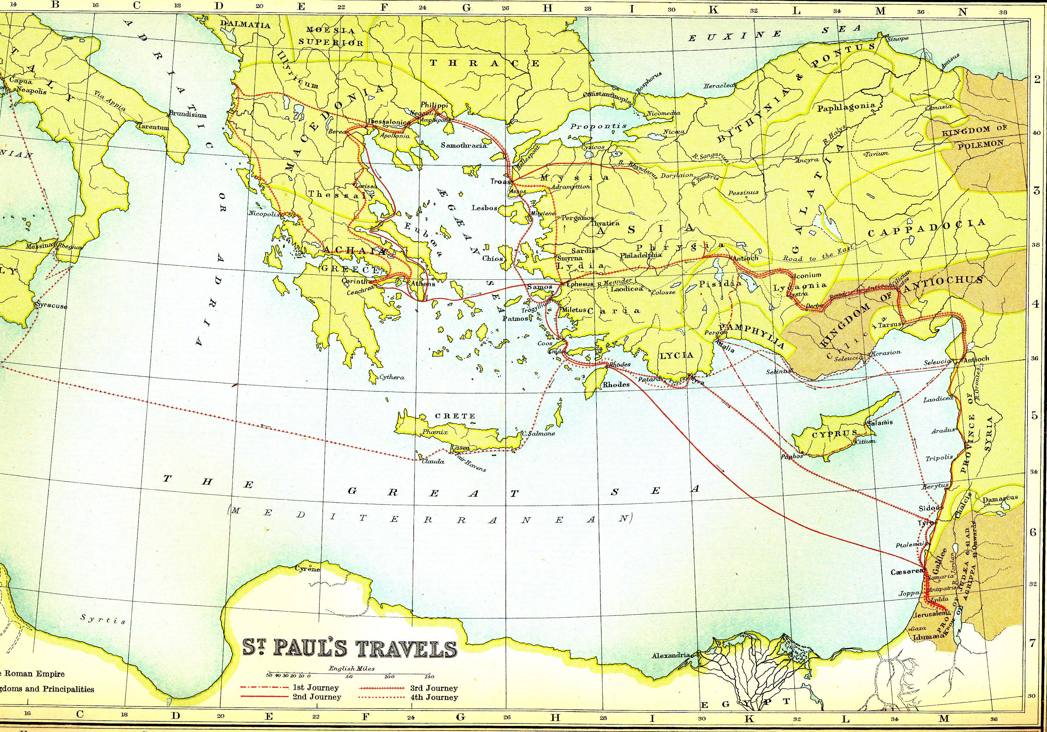
St. Paul's Missionary Trips Large (3.0MB) |
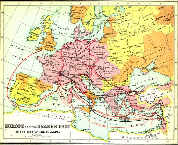
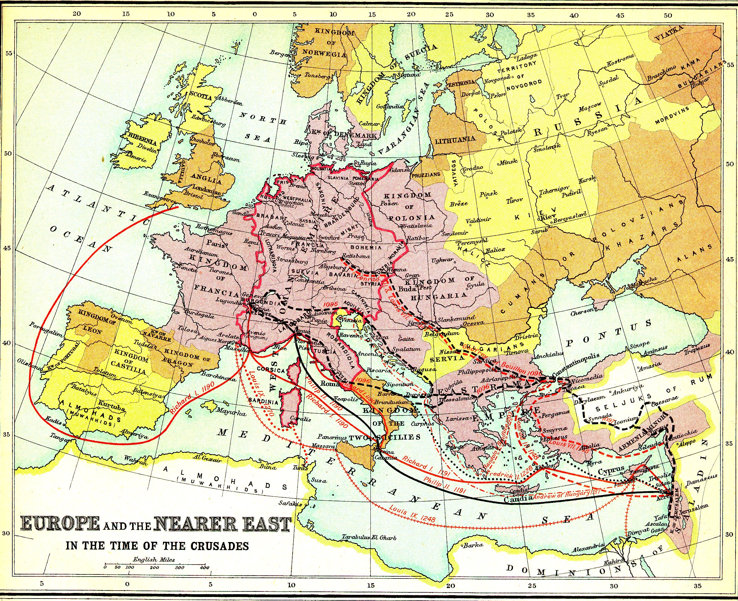
Europe and the Crusades Large (2.2MB) |
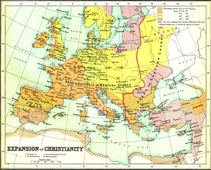
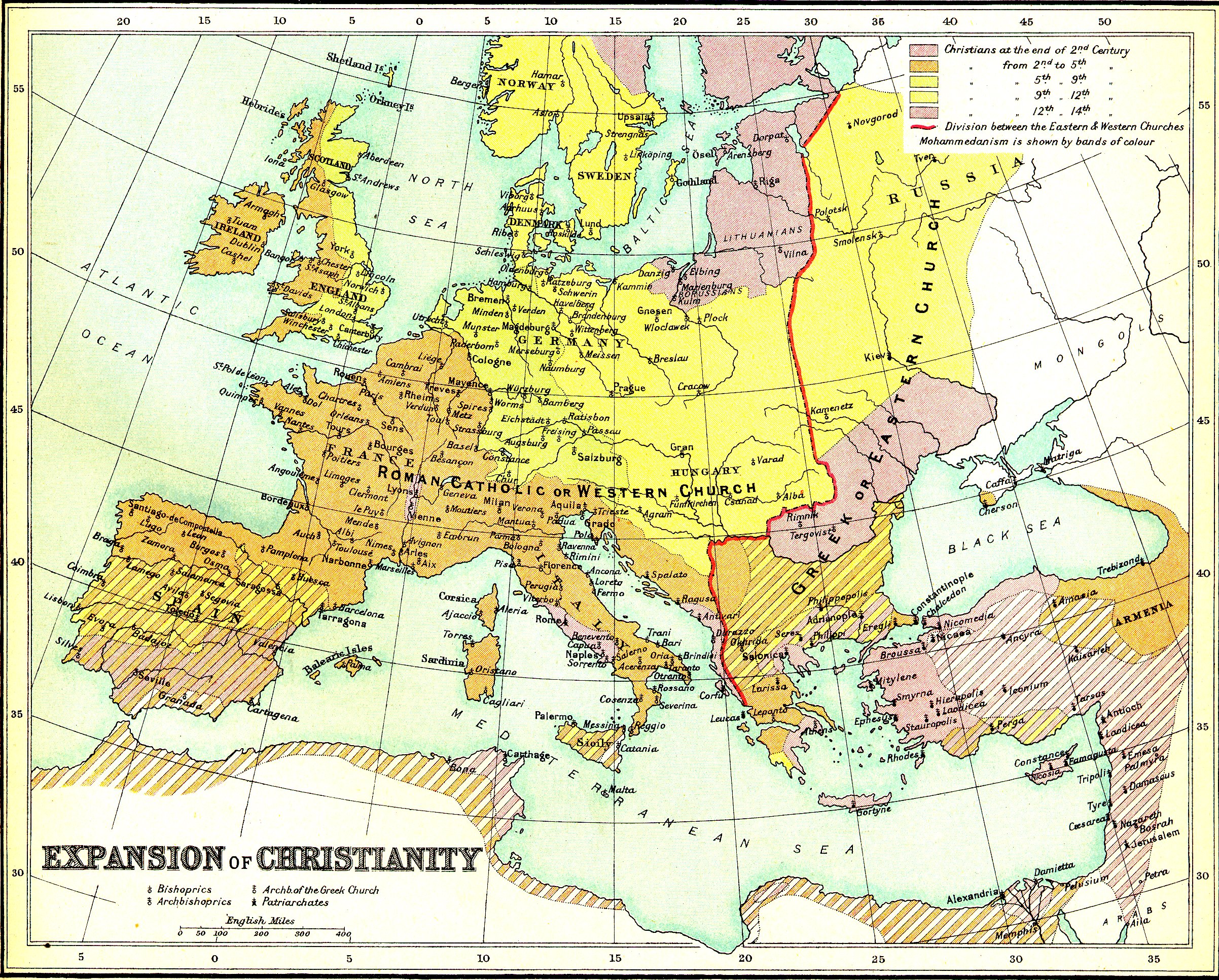
The Expansion of Christianity Large (2.1MB) |
|
|
|
|
|
|
|
|
|